Orbis Environmental Consulting

Our Cultural Resource specialists can help you manage the risk of impacting important historic or archaeological places.

Hydric Soils

hydric-soils-ebook-cover-3d

If you’re like most people, you want to do the right thing. You want to do your best to complete an accurate wetland delineation with a solid, easily defensible boundary. We’ve all heard stories about delineations where wetland boundaries have been changed under review because of poor quality data.

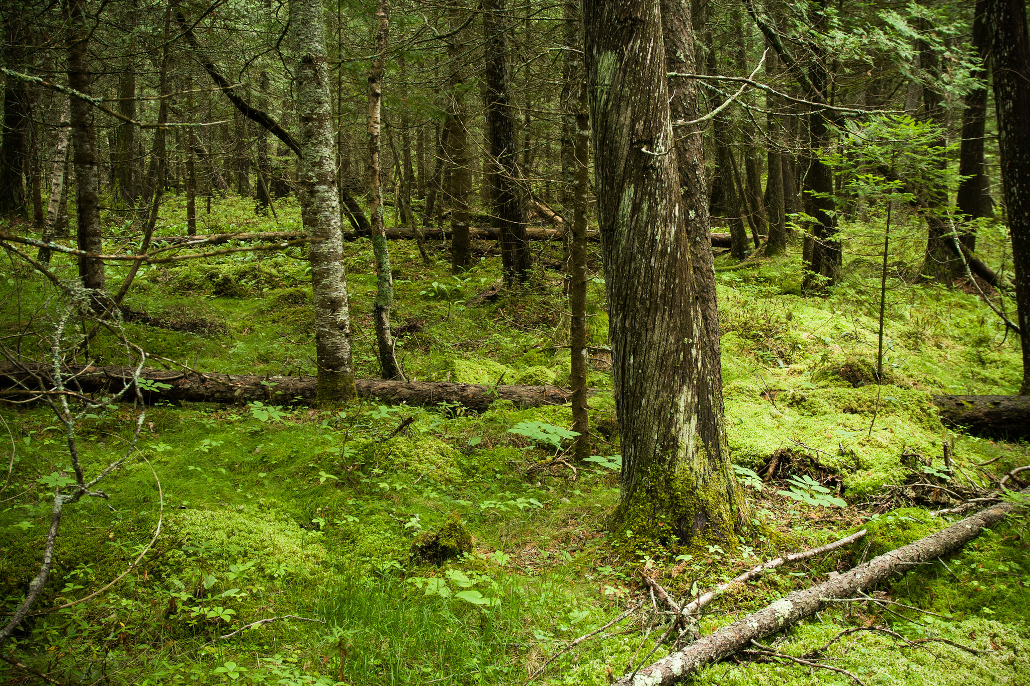
Good delineations require good data on the plants present, the hydrology, and the soils. But let’s face it, because of this breadth of information most delineators are generalists – even if someone is a expert in a particular field, they usually need to work on others. It’s difficult – and takes a lot of work to know all you need to know – and have it down cold.

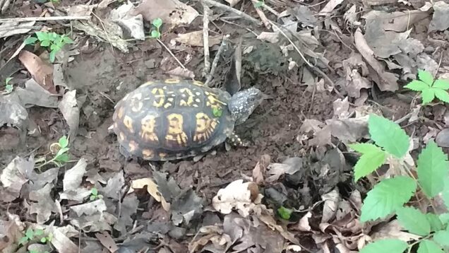
Sure – maybe you took that soils class as an undergrad, maybe you know a hydric soil when you see it But do you want to justify your next delineation because the soils “looked” hydric?

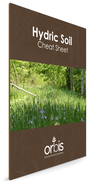
If you want to be sure exactly what hydric soil indicator you’re observing in your data point get the same hydric soils guide our experts use in the field here.

Just click on the link, enter your email, and you’ll get our free guide.

Click here for the guide.

Share the Post:

Tessa M. Aby-Kruger

Botanist

Tessa is a geologist, botanist and vegetation ecologist with over 10 years of experience managing and conducting projects, specializing in ecological and floristic inventories, rare plant surveys, and vegetation monitoring. She also performs wetland evaluations and is a guided hike leader.

Jeremy Sheets

Senior Wildlife Biologist, Vice President

Jeremy is a founding member of Orbis and directs its ecological and wildlife surveys, assessment and planning services, and brings over 20 years’ experience conducting various wildlife surveys with a focus on bat ecology and urban wildlife management.


Jeremy has managed wildlife projects for private firms and the public sector including for wind facilities, pipelines, roadways, military bases, and airports. Jeremy is proficient in wildlife management/control techniques, wildlife identification, threatened and endangered species, and surveying and analysis techniques for mammals, birds, reptiles, amphibians, fish, and insects. Jeremy is a Federal Aviation Administration (FAA) Qualified Airport Wildlife Biologists who develop Wildlife Hazard Assessments (WHA) and Wildlife Hazard Management Plans (WHMP) for airports. Jeremy is qualified to inspect erosion, sediment and stormwater plans, and their implementation. Furthermore, Jeremy is federally permitted to conduct endangered bat surveys in USFWS Regions 3, 4, 5, and 6 and includes acoustic surveys, mist-netting, and radio telemetry.

J Ryan Duddleson​

Senior Archaeologist, Principal

Ryan is a founding member of Orbis and directs its cultural resource management services, and brings over 20 years’ experience helping clients assess and minimize the risk of impacting places with cultural value.


Ryan works with public sector clients including federal, state, and municipal government, as well as private firms in energy, transportation, industrial, and development sectors. He also coordinates with agencies and consulting parties involved with the National Environmental Policy Act, Section 106 of the National Historic Preservation Act, and other related cultural resource laws and regulations. He performs archival research, analysis, and excavation. Ryan also has experience in artifact and archival curation. He has applied innovative techniques to traditional artifact analysis, such as examining organic residues from prehistoric pottery to determine prior contents. Ryan also has experience with human remains in archaeological settings. Ryan meets the Secretary of the Interior’s Standards and Guidelines for Archaeology and Historic Preservation, 48 FR. 44716 and is a Qualified Professional Archaeologist in Indiana, Illinois, Iowa, Michigan, Ohio, Pennsylvania, and Wisconsin.