See Your Project from the Air
Photos and video from the ground don’t always show you what you need. No matter where you stand you can’t quite get the shot you want.
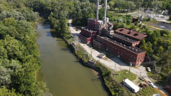
Drone photography can help you see places that are too elevated or difficult to reach on foot. Aerial images can also give you a more complete view of your project.
Whether you need to see historic structures closeup, want to see how your project site is changing, or simply want to see your project in a way that just isn’t possible from the ground, Orbis can help. Check out the short video below to see how.
For more information contact Megan Martin
